One-on-One with William Gallus
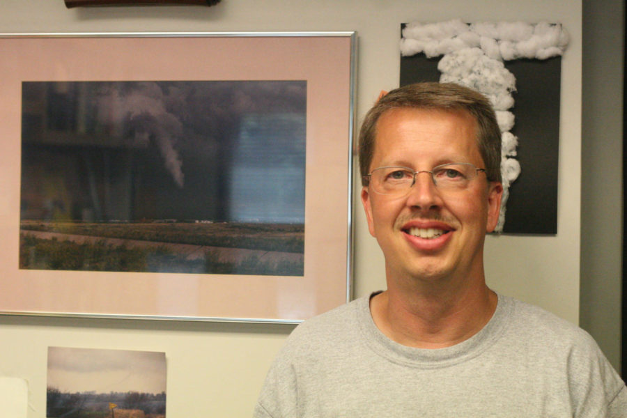
William Gallus, professor of geological and atmospheric sciences focusing on meteorology, studies storms and researches wind patterns.
July 30, 2014
William Gallus is a meteorology professor at Iowa State whose research focuses mainly on severe storms, their formation and their rainfall. Gallus has been at Iowa State for 19 years.
Can you walk us through your daily routine?
Especially in the summer when there aren’t any classes, everything I do is pretty much related to the research and now I have a pretty big group of graduate students that I oversee and they’re the main ones that do the research, so I’ll have meetings with them from time to time and get updates, try to give them guidance on how to do the research. In meteorology, a lot of the research uses computer models. Basically we have all these equations coded up into the computer that really they represent what happens in the atmosphere and so that’s kind of what you’re doing on your computer program. It can take a fairly long time to run a program and typically we’re looking for cases where we know that thunder storms happened in some areas and then we will run the computer models to see “Do they show thunder storms? If so, do they have them in the right areas?” We try to look at lots of different days and look for things that seem to frequently go wrong in the models and then try to understand why is that the case. So my normal day is just spent juggling lots of different research projects that relate to different areas of weather, most of them are related in some way to thunder storms and the rain from thunderstorms.
Is there a specific reason why there tend to be a lot of heavy storms during the midsummer months?
In Iowa, usually in June I think is our peak month for getting lots of thunderstorms. We can tend to have that kick in in the last half of May and some years it lasts pretty well through June and even July. Thunderstorms need for the atmosphere to be unstable, which means it needs to get pretty warm and humid down near the ground and still be kind of cool up high. So usually the time of year where things get the most unstable is the first half of summer. We know the hottest weather sometimes waits until July and August, but by then, the upper parts of the atmosphere have had a chance to heat up too, and so you don’t get quite as unstable, or the conditions aren’t quite as good for forming thunderstorms as you get later in the summer.
For intense thunderstorms … we had a lot of those during June, you also need to have pretty strong winds blowing throughout the atmosphere and something called wind shear, which means that the winds are changing their speed and their direction as you go up. Again, you normally have wind shear through the cold part of the year, so if you’re into June and the beginning of July sometimes you still have a lot of wind shear plus you have the instability so you can get strong thunderstorms. By the time you get to late July and August, the wind shear often is pretty weak, so even if you do form thunderstorms, then they’re not quite as powerful as they are in the first part of summer.
I understand that some of your research is going into wind patterns that might increase wind energy production?
In recent years, especially in Iowa as there have been more and more turbines put into place and more of our power coming from wind, the companies have gotten a little bit more interested in trying to improve the accuracy of the forecasts. In meteorology, we didn’t pay much attention to what the winds were doing you know a couple dozen feet above the ground until, that’s of course when the wind turbines are put up is exactly where they need to know what the winds are doing. I think when the wind industry really started to take off, we were discovering “Wow, there’s problems in forecasting the wind. We don’t necessarily do a good job all the time.”
So I’ve gotten involved in some projects where we’re looking at ways to see “How can we make changes in the models” or “How can we adjust what the computer models are telling us” to get better forecasts of wind up at the level where the turbines are.
There’s also things we don’t understand, we know the wind can change very rapidly as you go up and down right about that level of the atmosphere, so again that would also be wind shear, the same kind of wind shear you need for thunderstorms, but now we’re talking about the wind shear in a very different way. So the winds can be 10 to 20 miles per hour less strong at the very bottom of the blades as it is up high. So when you picture these blades, as they’re sweeping out the circle, the top is getting spun around much faster than the bottom and so that causes stress on the blades. So it’s believed too that that might be playing some role in causing the wind farms to not generate as much power as we thought they would for a given amount of wind. So we’re learning a lot about what the winds are doing in that part of the atmosphere.