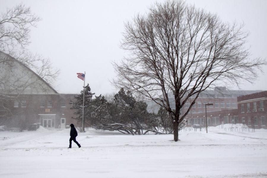
Winter Storm Draco hits Midwest
Photo: Yue Wu/Iowa State Daily
Bernice Thommandru, senior in genetics, walks past the armory Tuesday, Feb. 1. Thommandru wants class to end.
December 19, 2012
People traveling early for Christmas in the center of the country will be dashing through the snow and the rain and the wind.
The first major storm of the season has prompted the National Weather Service to issue a blizzard warning for a huge swath of the Midwest stretching from eastern Colorado to Wisconsin’s Lake Michigan shoreline, including virtually all of Iowa. The declaration warns of snow accumulations of up to 12 inches, complemented by 25- to 35-mph winds that will occasionally gust to 45 to 50 mph.
“Whiteout conditions are likely and travel could become impossible” Wednesday night and into Thursday, the service’s Omaha, Nebraska, office warned.
“Far southeast Nebraska and extreme southwest Iowa could see rain or a wintry mix for several hours yet this evening, so blizzard conditions may not develop over that area until mid-evening or later,” the service said.
Airlines were reporting relatively few cancellations or delays in areas affected by the storm Wednesday night, but that could change overnight.
The storm will race into western Illinois, the weather service said. Rain will quickly change over to snow as the storm advances northeast, with the heaviest snow occurring overnight.
“Snow drifts several feet deep will be possible given the strong winds,” the blizzard warning states.
At least 17 people were sent to hospitals near Lubbock, Texas, after a 23-vehicle chain-reaction crash on Interstate Highway 27 north of New Deal, Texas, state safety officials told CNN. There was at least one fatality, said Clinton Thetford, emergency management coordinator of Lubbock County. A stretch of the freeway in Lubbock County remains closed indefinitely.
Wrapping around the blizzard warning on the north, south and east is a winter storm warning, which will be no picnic either. The winds won’t be quite as strong, but residents should expect a strong dose of rain, sleet and snow, with a few hail-packing thunderstorms thrown in for good measure.
A winter weather advisory is in effect for the Indiana-Ohio-Michigan tri-state area, as well as central Missouri and Kansas.
Cheyenne Wells, in east-central Colorado, reported a 67 mph wind gust with zero visibility just after 2 pm MT, CNN meteorologist Sean Morris said.
The “intense cyclone” will crawl across the Great Lakes region Thursday and slog into northern New England by Friday evening, the National Weather Service predicted.
Dodging the heavy precipitation but not the high winds is an area from western Texas and eastern New Mexico through the Oklahoma Panhandle and into southwest Kansas.
Much of the Southwest and Mississippi Valley is extremely dry, and the high winds have kicked up blinding dust near Lubbock, Texas.


