11 dead in India, Nepal after magnitude 6.9 quake
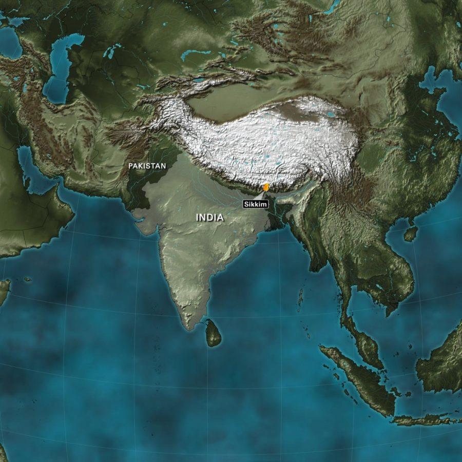
A magnitude-6.8 earthquake struck near Sikkim, India, Sunday, Sept. 17, 2011, the U.S. Geological Survey reported. No tsunami warning was issued following the quake, which was in the country’s mountainous northern region.
September 18, 2011
Eleven people — six in India and five in Nepal — died when a magnitude-6.9 earthquake struck the northern Indian state of Sikkim near the border between the two nations Sunday night, police said.
Three died in Nepal’s capital of Kathmandu and two in the town of Dharan, about 217 miles east of Kathmandu, police said in a statement. About a dozen people were injured when they jumped from their houses during the quake, police said.
The three in Kathmandu died when a wall of the British embassy collapsed, according to Kedar Rijal, Kathmandu police chief. They included an 8-year-old girl, her father and a third person.
The British Foreign Office confirmed that a “compound perimeter wall” of the embassy collapsed, saying the ambassador has met with the community and offered condolences.
In India, six people died and 33 were injured, said Karma Gyatso, Sikkim’s chief secretary. At least two buildings have collapsed, and others developed cracks, he said. The damage was still being assessed, and rescue efforts were under way, he said.
A total of three quakes struck the region. The U.S. Geological Survey initially put the largest quake at 6.8 magnitude, later upgrading it to a 6.9, and the other two at magnitudes 4.8 and 4.6. All three occurred within an hour and 15 minutes, the USGS said. The India Meteorological Department said the quakes were 6.8 magnitude, 5.7 magnitude and 5.3 magnitude.
The quakes were in the country’s mountainous region near the Nepal border, the department said.
Power outages and downed phone lines were reported in Sikkim, along with reports of landslides and blocked roads, authorities said.
Emergency crews were dispatched from different locations to the region, India’s home ministry said in an alert to reporters. At least four fighter jets were carrying rescue officers to a neighboring region, where they travel by road to Gangtok, Sikkim’s capital, according to the alert.
No tsunami warning was issued. The earthquake, which struck at 6:10 p.m. local time (8:40 a.m. ET), was 12.2 miles below the earth’s surface, according to the USGS.
The quake’s epicenter was about 42 miles from the city of Gangtok and 169 miles east of Kathmandu, according to the geological survey.
CNN’s Harmeet Singh, Manesh Shrestha and Bharati Naik contributed to this report.