Ames under tornado watch through Monday
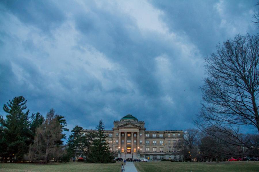
Storm clouds roll through campus during the late afternoon of March 6. The storm hit around 6:30 p.m, after a day of wind warnings and tornado watches.
March 6, 2017
The National Weather Service has issued a hazardous weather outlook for Ames through Tuesday evening as thunderstorms and showers move through Central Iowa.
Ames will be under a tornado watch and a severe thunderstorm warning until Monday night. A wind advisory warning is in place until Tuesday morning, while a fire weather watch warning will be in effect starting Tuesday afternoon.
According to the National Weather Service, some storms could be severe, with large hail and damaging winds. Winds could gust as high as 31 mph Monday night. New precipitation amounts between a quarter and half of an inch are also possible.


